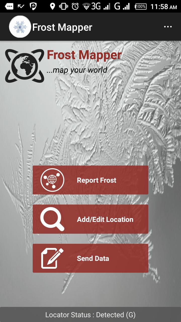
Frost Mapper is a tool for the reporting of frost occurences
Frost Mapper was built by SERVIR Eastern and Southern Africa for the collection of data for validation of the frost forecast model that was initiated between a collaboration of Regional Center of Mapping of Resources for Development, Kenya Metrological Department and SERVIR, a joint initiative between NASA and USAID.
To learn more about the product visit: http://frost.rcmrd.org
To contact us through: [email protected]
What's New in the Latest Version FM_3_04182017
Last updated on Sep 25, 2018 - Contact RCMRD (
[email protected]) for registration to use the app.
- Users can add locations independent of frost reporting.
- Reporting is done offline and can be sent in batch afterwards.
- Data directly fed to RCMRD frost servers for processing and analysis to create a better frost forecast product.
- Registered users receive 72 hour frost prediction over their registered locations.
- Authenticated automatic location load from server on subsequent re-installations
